Author Archives: John

Hilbre Launched – Back to San Pedro

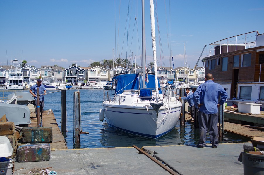
We arrived early at the yard to find them readying Hilbre for launching. The launch was quick and after checking the bilge for water; there was none, I fired up the engine and began the journey back to San Pedro. by 10:05 a.m. I was already underway threading my way out of the harbor. This takes some time as the yard was in the upper reaches of the estuary.

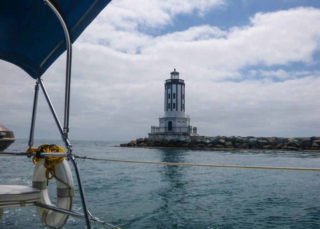
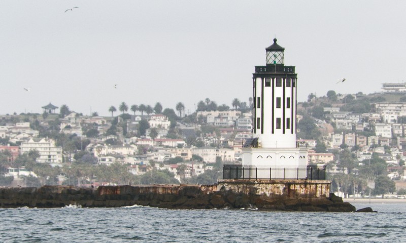
While Anita drove the car back to San Pedro I continued to motor along the coast, passing the Oil Rigs about 12:00 noon. The sea was once again calm with no wind for a couple of hours however the wind did pick up and I was able to sail for the last two hours. The wind was blowing about 25 Knots as I slid through Angel’s Gate and lowered sail. By 2:50 p.m. I was already back in the slip in San Pedro having covered almost 27.5 N.Miles, two N.Miles more than the passage to Newport.

In Newport & Lyon Air Museum

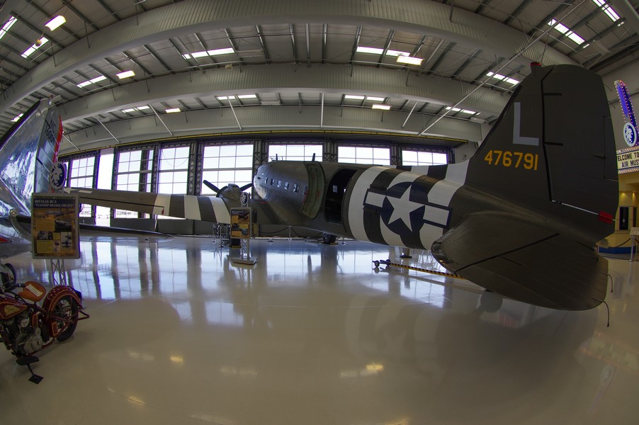
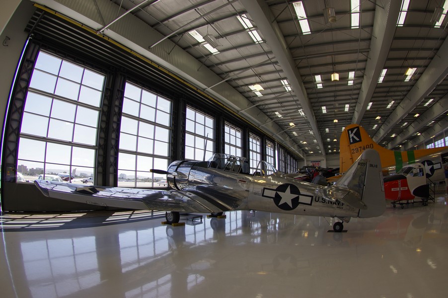
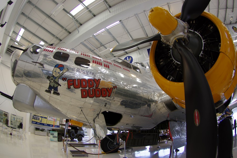
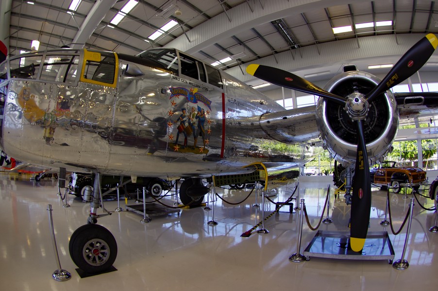
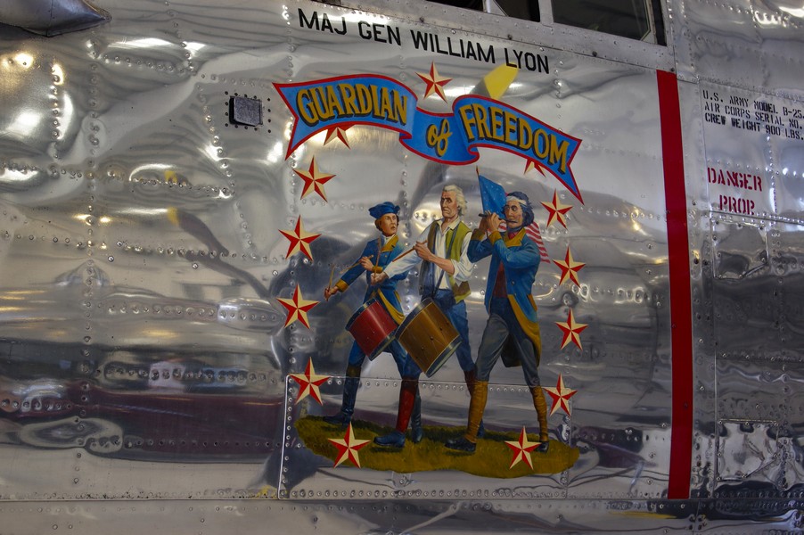
We spent the morning visiting the Lyons Air Museum which is a part of the John Wayne Airport. It is unique in that all of it’ aircraft are in working order and we sometimes see the old planes flying around San Pedro.

The museum also has a number of vintage cars and the focus of the museum is WW2 Aircraft. It is possible to go inside some of the Aircraft as well as look inside the bonb bays of a B17.

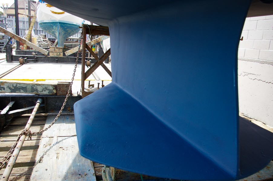
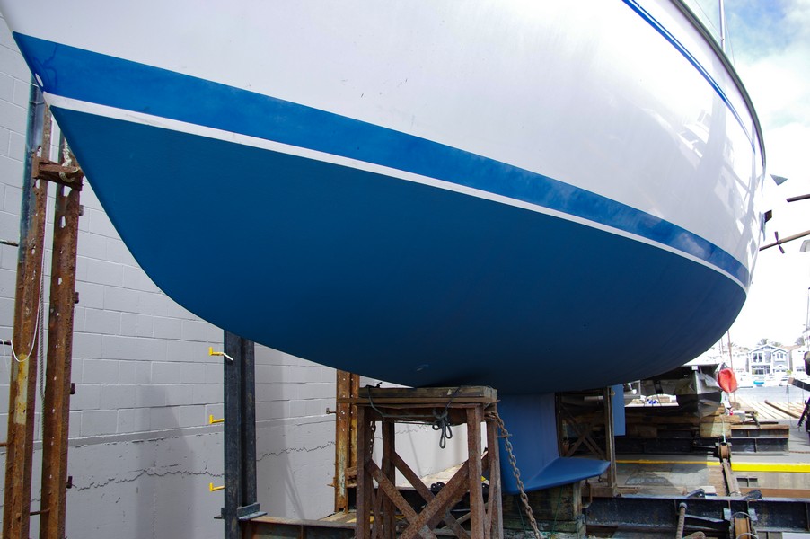
We spent about three hours exploring the museum before heading to the Marina to check on Hilbre. She had already received her second coat of paint and they were just adding the third coat on the leading edges. Hilbre looked so much nicer and I was pleased with the work the yard had done.

We were advised that she would be ready for launching about 9:00 a.m. the next day, Friday.

Newport – Hilbre in the Yard

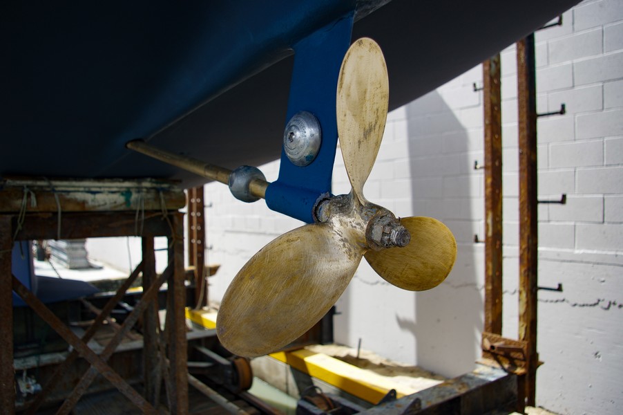
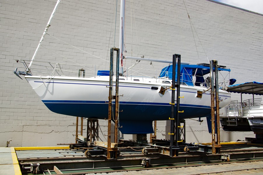
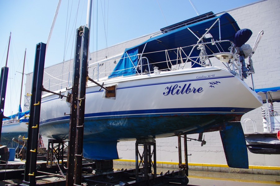
The yard began work on cleaning and putting on the first coat of paint. All the thru-hulls mechanics are solid and ‘Hilbre’ already looks a lot better with one coat of paint. We spent the day exploring Newport Beach and the surrounding area.

Hilbre in the yard

To Newport Beach from San Pedro

For Bottom Cleaning & Painting
Weather: Clear

It was time to haul ‘Hilbre’ and check the Bearings, thru-hulls and have the bottom painted. We were up early and I left the dock at 7:25 a.m. for the boatyard in Newport. Anita drove the car there so we would have transport.

By 8:00 a.m. I was passing Angel’s Gate and heading on a course of 103 degrees. It took until almost 11:00 a.m. to close with Newport and it’s pier and by 12:35 p.m. I was tied up at the dock where Anita met me. The trip was 25.3 N.Miles.

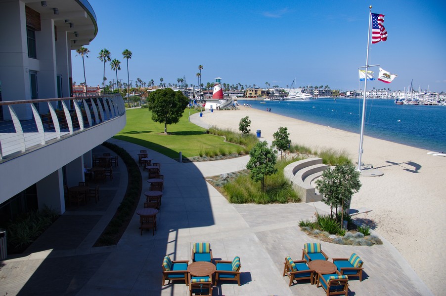
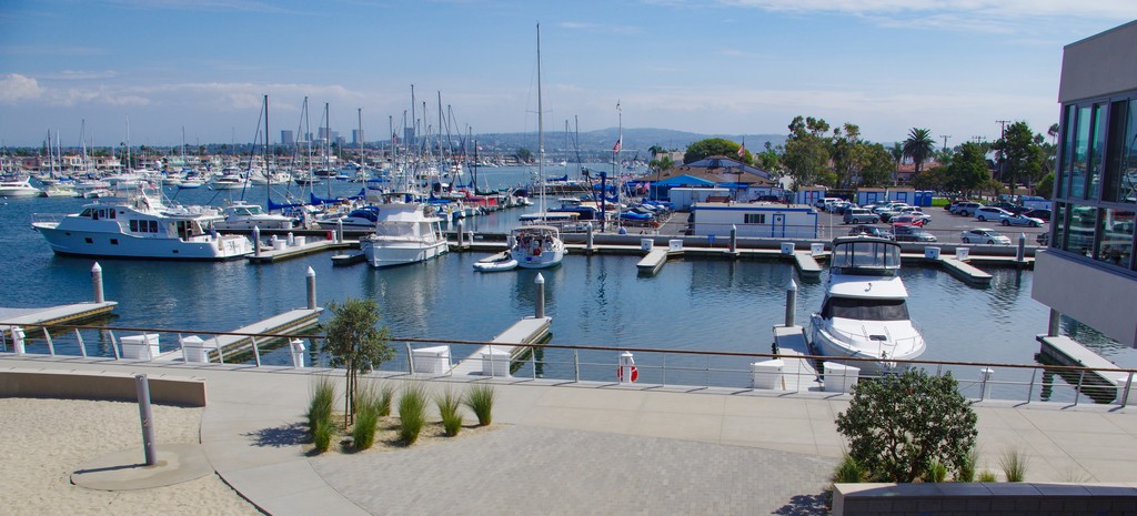
We went for lunch as the yard was not ready to haul Hilbre until mid-afternoon. We found a nice place overlooking the guest marina and settled in for a leisurely lunch during which we took a number of photographs.

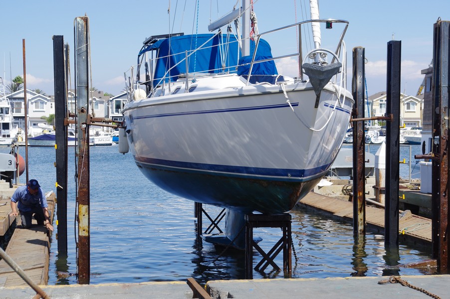
As planned, Hilbre was hauled out and placed in the yard and given time for the hull to dry out. Once this was done we set off to our Hotel which was close to the John Wayne, Orange County Airport, a few miles inland.

To Two Harbors (Isthmus Cove)

Angels Gate – LA

A Warm & Clear day

It was nice to be on the water again and heading to Isthmus Cove on Catalina Island for a few days on a mooring. When checking the engine a number of weeks ago, I discovered the Heat Exchanger had once again developed cracks in the brackets holding it to the engine. This had happened once before in 2011 and we had the brackets welded. This time I decided to replace the entire Heat Exchanger with a new one. This has worked well and the engine runs a few degrees cooler than it has, which is to be expected.
The trip over was quiet but we did manage to get some sailing in as we also did on our return trip. It has been a great opportunity to test all of the boats systems and everything is working beautifully.

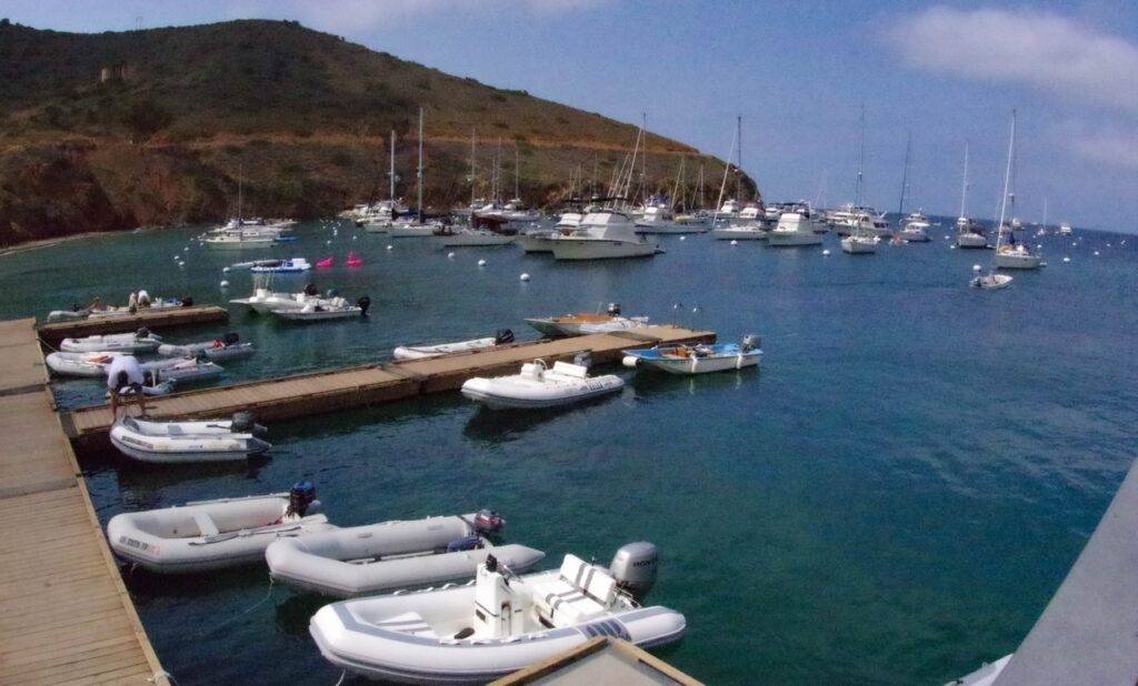
Two Harbors -Dingy Dock


We were last in Isthmus in October 2011 just before heading to San Diego and then Cabo San Lucas and our three years of cruising in Mexico. We always enjoy being in Isthmus and took the opportunity to do some pleasant walks on the Island.
Our next task is to have the bottom painted otherwise our regular service and maintenance program keeps Hilbre in perfect condition and ready for any cruising we decide upon.

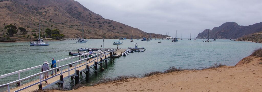
Cat Harbor


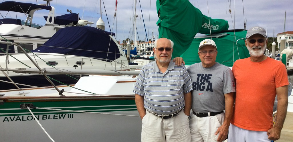
On our return to San Pedro, we discovered that our friend George on Avalon Blew lll had relocated his boat back to the Shoreline Marina in Long Beach as he found the Cabrillo Marina in San Pedro too quiet. We like the quiet and flexibility of the Marina Management in San Pedro.

Leave Morrow Bay

Thursday
We were up early and headed to the Yacht Club dock only to see it empty. George and Carl must have left at the crack of dawn as nothing was visible on the horizon.

It had been decided the day before not to continue north and the new plan included a visit to Smugglers Cove for a few days. We heard later this did not happen as the auto-pilot had developed problems. They endured a boisterous rounding off Point Conception and instead went to Channel Islands Harbor. From there they decided to head back to Long Beach ending a somewhat frustrating cruise north. Going further north was not destined to be, at least not this year.

We had Breakfast and discussed our next move. It was decided we would drive north and then decide what we would do based upon how I was doing.

At Morrow Bay

Wednesday
Anita arrived late Wednesday morning and we used the car to ferry fuel to the boat and top off the tanks. The fuel dock in Morrow Bay was not conducive to going alongside due to the tall pilings without fender boards, which we did not have. The boat was then prepared for an early Thursday departure. Meanwhile, I moved ashore late Wednesday as the remaining crew, George and Carl planned an early start the next day on the sail south to Smugglers Cove.

Now we had transport, I paid a visit to the local supermarket and replenished the boat with bread and sandwich meats for making quick snacks.

Morrow Bay

Tuesday
As promised, our tow captain drove George and Carl south in the morning to a shop in Pismo Beach that rebuilds and sells starter motors. This produced a new starter motor which was installed during the afternoon. We were all relived when the engine finally came to life. I had arranged on Sunday for Anita to drive to Morrow Bay and pick me up as I had decided to drop off the trip north for a while.

Morrow Bay

At Morrow Bay

Monday
It is Memorial day and so nothing can be done to resolve the starter Motor failure. We did replace the solenoid on the starter motor which looked like a possible culprit but unfortunately this did not solve the problem. We now have to wait until tomorrow to find a replacement or somewhere to rebuild the starter.

As we had no transportation, the individual who gave us the tow into Morrow Bay kindly promised to take us to a repair shop in Pismo Beach on Tuesday. The Yacht Club has nice showers and were most welcoming. It is a short walk to just about everything except the supermarket. I walked there to replenish some of our supplies and then struggled back with to AB lll with bags of groceries.

Morrow Bay

To Morrow Bay

Sunday
We then continued north overnight and by the time I came on watch at 12:30 a.m. we were well on our way north and about 18 miles offshore. The skipper was tired so during my watch, I planned to let him sleep as long as needed, ready to take his watch until he woke up naturally. About 5:30 a.m. Sunday morning, we lost power again with another air lock in the fuel line. This took longer to clear and once cleared, we continued north in good weather conditions and light seas.

While I was asleep following my watch, a decision was made to turn around and head to Morrow Bay. The downwind run was easy sailing while we considered what caused the second fuel problem. It was believed to be the fuel filter housing which had an air space at the top of the filter housing, not filled by fuel. As we were in calm seas about six miles off Hurst Castle the engine was stopped to top off the fuel filter. After topping off the filter, we were unable to restart the engine.

Unfortunately, after a number of attempts at solving the issue, we eventually called for a tow into Morrow Bay arriving there late Sunday Afternoon where we tied up to the yacht club dock.

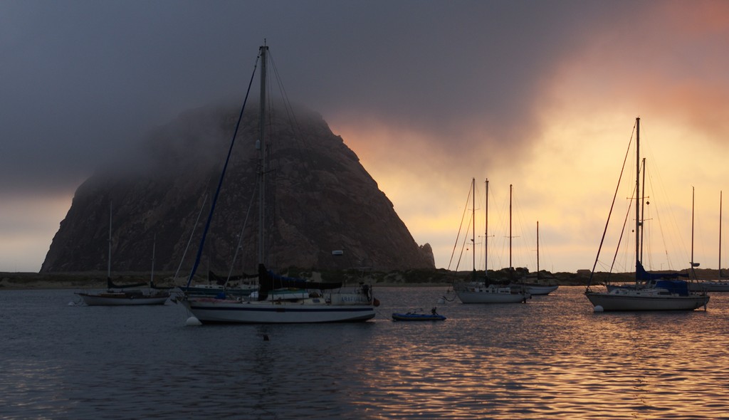
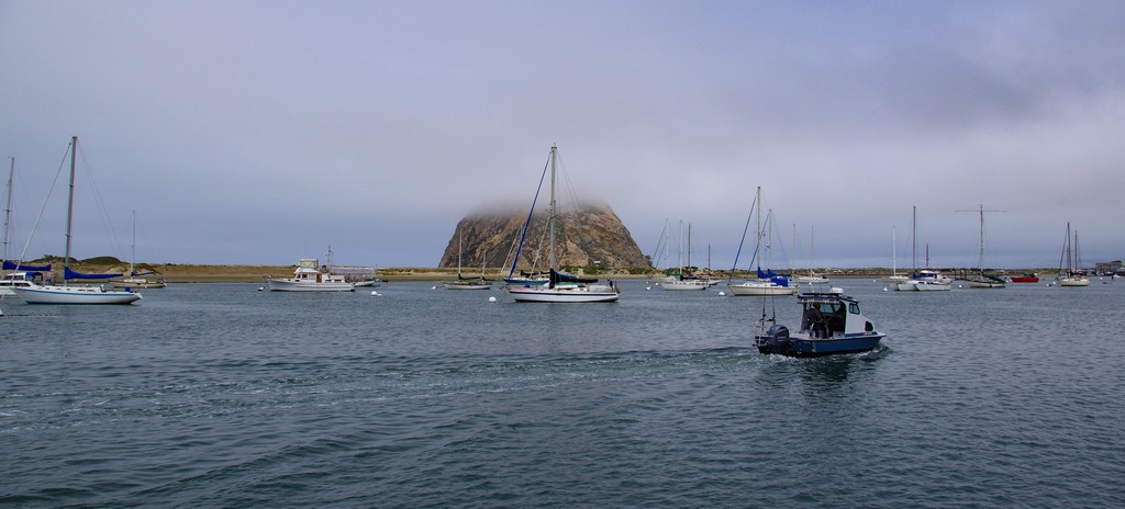
As you enter the estuary, there is a wonderful view of the Morrow Rock which is a volcanic plug, sticking up over 600 feet out of the surrounding shoreline. It is the post prominent feature of Morrow Bay and is visible from just about everywhere. Like many other Estuaries on the West Coast, Morrow Bay does have a Bar which can generate large waves during certain storms however it was flat calm when we entered. The estuary becomes narrower after entry and then sweeps around to the eight and becomes straight with the anchoring field to starboard and the Yacht Club guest dock further up the estuary to port.

Point Conception

Saturday
We cleared Point Conception mid-morning on Saturday in light weather conditions and headed more than 15 miles out to sea before we turned to continue our trip up the coast. We all were still getting our sea legs and used to the motion of ABlll.

On Saturday evening about 8:00 p.m. we had our first issue which was an air lock in the fuel line. This was cleared by purging the fuel lines. We believed the cause was a faulty electrical fuel pump which was by-passed. Our trip north continued with calm seas. We did consider putting into Morrow Bay however it was decided we should continue north along the coast.

While this was the Memorial Day weekend, we were surprised by the lack of other boats. Our weather forecast was still good with a prolonged settled spell expected. A good omen for our passage.

Sailing North on Avalon Blew lll


Friday
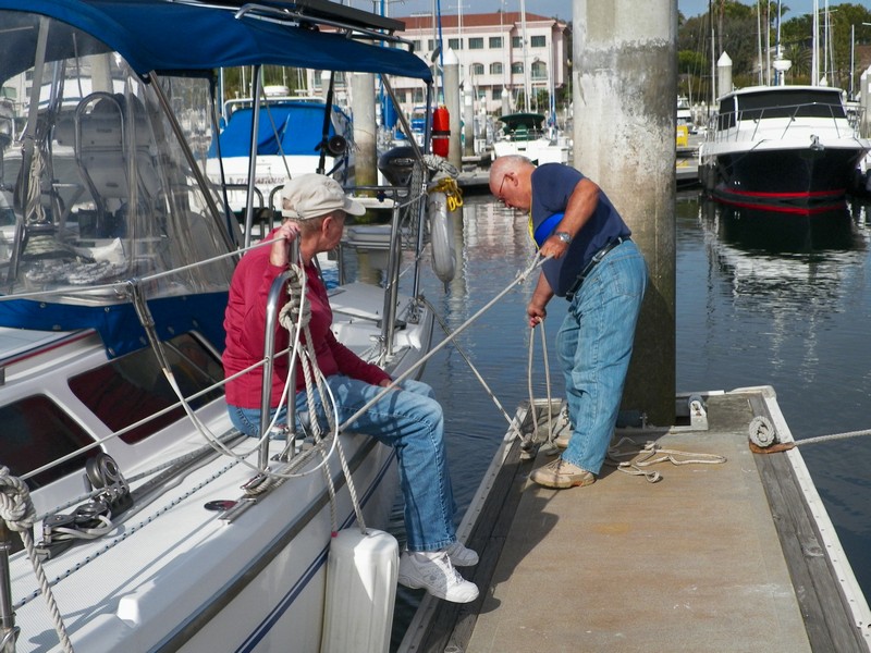
After waiting a number of weeks to depart on my friends 40 Endeavor; Avalon Blew lll, the weather improved off Point Conception. The boat has been meticulously maintained with all of the systems replaced or rebuilt. On Friday, we headed out early morning, crossing Santa Monica Bay in light wind and calm seas. During the afternoon off Ventura/Channel Islands Harbor, we hit both a strong current with a headwind and a contrary tidal flow which had us pitching into confused seas for a number of hours. These calmed down towards the late evening as we headed into the Santa Cruz Channel towards Point Conception during the overnight hours.

We all had some of the prepared stew for dinner and then prepared the boat for overnight sailing. It looked like we would have a calm night as we headed for Point Conception.

Prepare ABlll with cooked meals for reheating

Thursday
We spent the morning finishing the preparations for sailing north. In the afternoon, a number of meals were prepared for the first few days of sailing. These included stews, pasta, sauces and other meals that are easy to re-heat when underway. We also prepared a number of hard-boiled eggs as snacks for when we are on watch.

Avalon Blew lll-Crew

We settled in overnight ready for the start north tomorrow morning. The weather check showed we were good to go for Point Conception.

Prepare ABlll for trip north

Wednesday
We arrived in San Pedro yesterday and today was spent the day shopping for provisions for the trip north. While we had brought a lot of provisions with us, we needed to stock up on fresh produce.

We had dinner at the Chicago Ribs restaurant.

About the Bash

What is it really like? Here is a summary description of our experience doing the Bash North from Cabo San Lucas to Los Angeles. We are certainly not the first to do it nor will we be the last. Overall it was not as bad as we expected, just tedious and a lot of motoring. We expected to motor a lot and out of the whole trip, we got about 1.5 days of decent sailing.

There are many individuals who are willing to offer advice on doing the Bash but have never done it. Of the people who I talked to who have done it, the best advice was seek out good weather windows, be patient, do not have a schedule and go as far north as you can, as fast as you can. Books on doing the bash have lots of advice but in all honesty, it is all up to weather windows and good news does not sell books. Lots of people have done the Bash, you only hear about the horror stories. It is a miserable and often uncomfortable point of sail, but it is possible to complete it without having any major events.

Indeed, we were careful to ensure that the boat and the engine were up to the task. If in any doubt don’t do it, getting major parts or doing major repairs can become a big and expensive problem. Having extra crew, and there were three of us, was helpful to keep watches short. We did three hour watches and having three crew was a good balance for a 36 foot boat.

We had many spare parts on board as well as extra fuel and oil filters. We changed engine oil in Cabo, Turtle Bay and Ensenada. All fuel filters were replaced in Cabo and all fuel taken on board was put through a West Marine (Baja) type filter before going into the tank. We also changed the transmission fluid. It was not clear how much fuel we would need to get us to Turtle Bay or from Turtle Bay to Ensenada so we acquired two ‘Mexican’ Panga style jugs each holding about 11 Gallons of Diesel for about 60 Pesos each in Puerto Vallarta. We already had 6 five gallon containers and while our fuel tank holds 25 gallons, we only used 20 for estimating purposes. The total fuel we carried for each leg was 70 gallons. This was all based upon our estimated burn rate and our speed over ground estimate that allowed for up to three knots plus headwinds. We refueled in Turtle Bay but not in Ensenada and ended the trip in LA with a full tank and five gallons to spare. We had plenty of engine oil on board should we blow a seal or have other engine issues.

The plan called for preparing four pre-cooked main meals that would just need re-heating so that galley time was minimized. We had plenty of snack foods available for whoever was on watch.

We did not have a SSB radio but we did have a Telcel BandaAncha Internet modem which may have worked for getting GRIB weather files in Mag Bay. However, we were too far away from the antenna so although we got a connection, it would drop after a while. It did work in Turtle Bay from the anchorage and also as we passed Cedros Village. While it was slow, we did get the weather information we needed. Otherwise, you have to rely on other cruisers for weather reports or use an internet cafe in Turtle Bay.

We started out from Cabo with a good three day and possibly four day weather window. We cruise at about 5.5 Knots and as recommended we hugged the coast about 2-3 miles off until south of Mag Bay. There was no noticeable south current this close in and we only noticed the current when off Mag Bay which was running at about 1.5 knots. We did encounter sea mist and winds of 15-20 knots on the nose for a few hours at nightfall.

Continuing north with good weather, we closed with land about 30 miles south of Turtle Bay having taken a direct route from Bahia Santa Maria to Bahia Asuncion. After coasting north about 4-5 miles offshore, we finally arrived off Turtle Bay in a morning mist that cleared as we entered the bay and dropped anchor.

The first GRIB download was disappointing as it looked like the next weather window would be five days away. In the end we were anchored in Turtle Bay for a full week along with some other cruising sailboats, one with a leaking oil seal and one with a broken Transmission. During that time a few other sailboats with delivery Captains came and went, usually just spending one night for rest and refueling. One of these boats did return one day as they found the going to be too stiff. The rest of us waited out the weather. The week passed quickly enough with trips ashore for supplies and to stretch our legs. The main concern was fresh water however, we carry 72 Gallons in three tanks along with about 21 gallons of purified drinking water. With careful conservation we still had 25 gallons of fresh water and 5 gallons of purified drinking water when we arrived in Los Angeles.

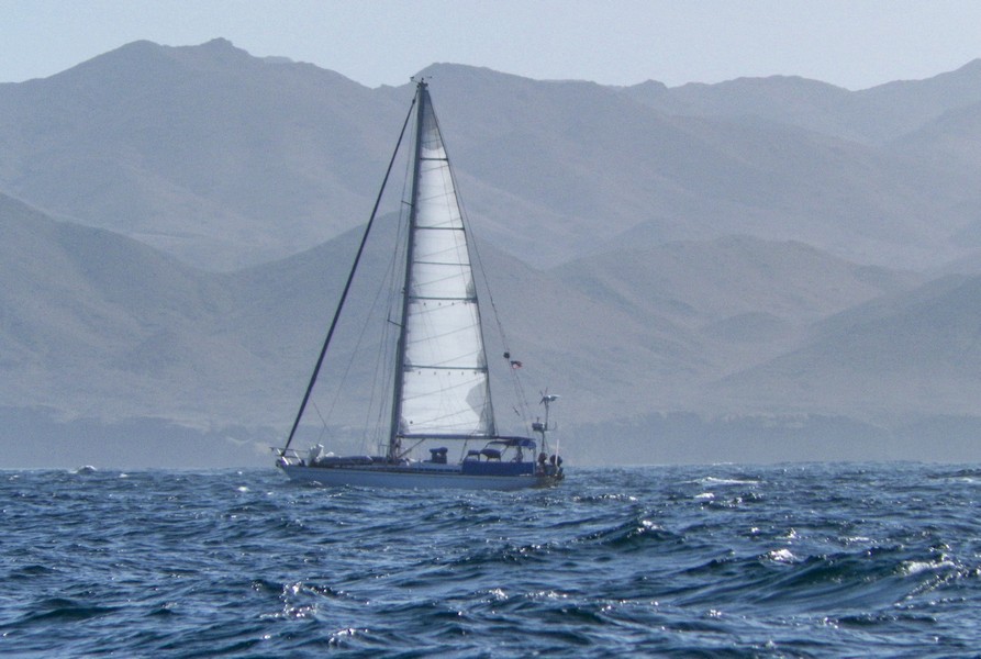
We finally got another good weather window of four or five days and anxious to get out of Turtle Bay, we gritted our teeth and set out after a week of heavy wind and seas had stirred everything up. We knew we would have a rollicking first day until the seas settled down. Indeed, we had long swells but favorable wind in the 10-15 knot range for motor sailing all of the way to Cedros Island.

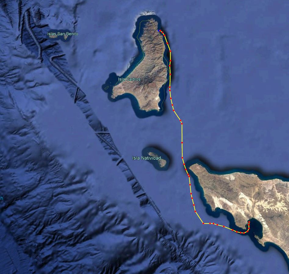
Our route took us through the channel between Punta Eugenia and Isla Natividad. We did benefit for the time we were in the lee of Natividad but strong beam seas and wind hit us after that as we continued the crossing to the lee of Cedros Island.

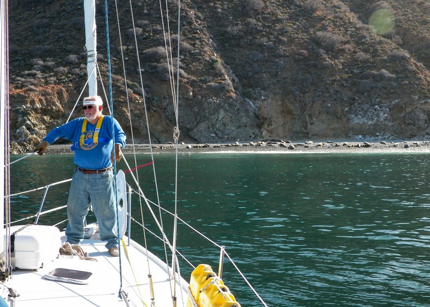
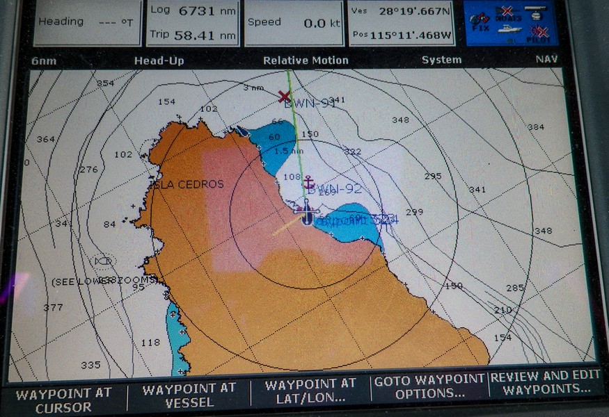
Coasting north we did encounter winds of up to 30 Knots blowing down the steep Arroyos just south of the north anchorage in Cedros. Two other boats that had tried to continue crossing Vizcaino Bay turned back and anchored with us overnight. The north anchorage of Cedros is an open roadstead with a few small beaches inhabited by Sea Lion colonies. We anchored on the shelf in about 25 feet of water about 200 yards off one of the beaches. The bottom is gravel and rock and if I anchor there in the future, I will use a trip line on the anchor.

Our final three days from Cedros crossing Vizcaino Bay found us in long swells, up to 18 knots of wind and a strong 2 knot current. We closed with land just south of the Sacramento Reef. From there, we stayed about 3 miles off shore and inside of the continental shelf. We had been told that north of San Quintin the weather is often benign and it was. The final leg from Ensenada to San Pedro was uneventful and our clearance into the US was handled efficiently at the slip in the Cabrillo Marina in San Pedro.

Would I do it again? Probably, but not any time soon. It is a long, somewhat uncomfortable trip where you need lots of patience and some perseverance in a well found and equipped boat. But it can be done safely with careful planning, taking no risks, having no schedule and paying close attention to the weather.

San Pedro (19 – 20 May 2014)

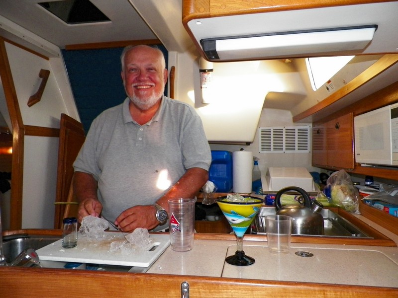
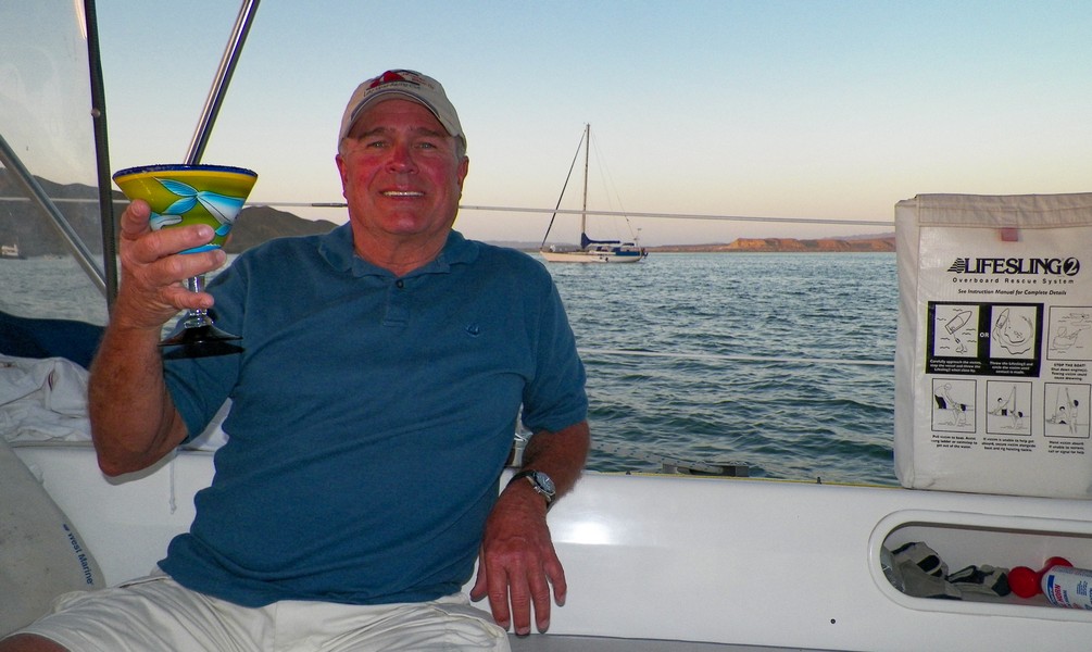
Monday, 19 May 2014 – San Pedro – It was time to clean up the boat, organize ourselves and prepare for our flight home after four months of living aboard and sailing. After George left for his flight home we cleaned the boat, did the laundry and then settled in for some Margaritas in our new glasses purchased in Mexico.

Tuesday, 20 May 2014 – After locking up the boat we took a car to the airport for our 3:30 p.m. flight home.

In San Pedro – The ‘Bash’ Summary (19 May 2014)

Monday, 19 May 2014 – The Bash Summary

We are tucked into our slip in the Cabrillo Marina in San Pedro after completing the final leg of the ‘Bash.’  This leg was uneventful with a light SW wind and slow long swells, barely enough to motor-sail. However, it was nice to see Angel’s Gate after three years and even better to be in our slip. The “Bash” is finally behind us.

The Bash – There are many individuals who are willing to offer advice on doing the Bash but have never done it. Of the people who I talked to who have done it, the best advice was seek out good weather windows, be patient, do not have a schedule and go as far north as you can as fast as you can. Books on doing the bash have lots of advice but in all honesty, it is all up to weather windows and good news does not sell books. Lots of people have done the Bash, you only hear about the horror stories. It is a miserable and often uncomfortable point of sail, but it is possible to complete it without having any major events.

Indeed, we were careful to ensure that the boat and the engine were up to the task. If in any doubt do not do it, getting major parts or doing major repairs can become a big and expensive problem. Having extra crew, and there were three of us, was helpful to keep the watches short. We did three-hour watches and having three crew was a good balance for the trip.

We had many spare parts on board as well as extra fuel and oil filters. We changed engine oil in Cabo, Turtle Bay and Ensenada. All fuel filters were replaced in Cabo and all fuel taken on board was put through a West Marine (Baja) type filter before going into the tank. We also changed the transmission fluid. It was not clear how much fuel we would need to get us to Turtle Bay or from Turtle Bay to Ensenada, so we acquired two ‘Mexican’ Panga style jugs each holding about 12.5 Gallons of Diesel for about 60 Pesos in Puerto Vallarta. We already had six five-gallon containers and while our fuel tank holds 25 gallons, we used 20 for estimating purposes. The total fuel we carried for each leg was 70 gallons. This was all based upon our estimated burn rate and our speed over ground (SOG) that allowed for up to three plus knots.  We refueled in Turtle Bay but not in Ensenada and ended the trip in LA with a full tank and five gallons to spare. We had plenty of engine oil on board should we blow a seal or have other engine issues.

The plan called for preparing four pre-cooked main meals that would need re-heating so that galley time was minimized. We had plenty of snack foods available for whoever was on watch. One of our favorite nighttime snacks were hard boiled eggs.

We did not have a SSB radio, but we did have a Telcel BandaAncha Internet modem which may have worked for getting GRIB weather files in Mag Bay. However, we were too far away from the antenna so although we got a connection, it would drop after a short time.  It did work in Turtle Bay from the anchorage and also as we passed Cedros Village. While it was slow, we did get the weather information we needed. Otherwise, you tend to rely on other cruisers for weather reports or use the internet cafe in Turtle Bay.

We started out from Cabo with a good three day and possibly four-day weather window. We cruise at about 5.5 Knots and as recommended we hugged the coast about 2-3 miles offshore until south of Mag Bay. There was no noticeable south current this close in and we only noticed the current when passing Mag Bay which was running at about 1.5 knots.

Continuing north with good weather, we closed with land about 30 miles south of Turtle Bay having taken a direct route from Bahia Santa Maria to Bahia Asuncion. After coasting north about 4-7 miles offshore, we finally arrived off Turtle Bay in a morning mist that cleared as we entered the bay and dropped anchor.

The first GRIB download was disappointing as it looked like the next weather window would be five days away. In the end we were anchored in Turtle Bay for a full week along with some other cruising sailboats, one with a leaking oil seal and one with a broken Transmission. A few other sailboats with delivery Captains came and went, usually just spending one night for rest and refueling. One of these boats did return after leaving in the morning as they found the going to be too difficult. The rest of us waited out the weather. The week passed quickly with enough with trips ashore for supplies and to stretch our legs. The main concern was fresh water however, we carry 72 Gallons in three tanks along with about 21 gallons of purified drinking water. With careful conservation we still had 25 gallons of fresh water and 5 gallons of purified drinking water when we arrived in Los Angeles.

We finally found another good weather window of four or five days and anxious to get out of Turtle Bay, we gritted our teeth and set out after a week the seas being stirred up. We knew we would have a rollicking first day until the seas settled down.  Indeed, we had long swells but favorable wind in the 10-15 knot range for motor sailing to the way to Cedros Island.

Our route took us through the channel between Punta Eugenia and Isla Natividad. We did benefit for the time we were in the Lee of Natividad but strong beam seas and wind hit us after we started the crossing to the Lee of Cedros Island. We made use of this for some fine if not rough sailing.

Coasting north we did encounter winds of up to 30 Knots blowing down  steep Arroyos just south of the north anchorage in Cedros. Two other boats that had tried to continue crossing Vizcaino Bay turned back and anchored with us overnight. The north anchorage of Cedros is an open roadstead with a few small beaches inhabited by Sea Lion colonies. We anchored on the shelf in about 25 feet of water, about 200 yards off one of the beaches. The bottom is gravel and rock and if I anchor there in the future, I will use a trip-line on the anchor.

Our final three days after Cedros and crossing Vizcaino Bay found us in long swells, up to 18 knots of wind and a strong 2 knot current. We closed with land just south of the Sacramento Reef. From there, we stayed about 3 – 5 miles offshore and inside of the continental shelf. We had been told that north of San Quintin the weather is often benign, and it was. The final leg from Ensenada to San Pedro was uneventful and our clearance into the US was handled efficiently at the slip in San Pedro.   

Would I do it again? Probably, but not any time soon. It is a long, somewhat boring and at times uncomfortable trip where you need lots of patience and perseverance in a well found and equipped boat. It can be done safely with careful planning, minimizing risk, and having no fixed schedule. Paying careful attention to weather and navigation is essential.

Arrive San Pedro from Ensenada (18 May 2014)

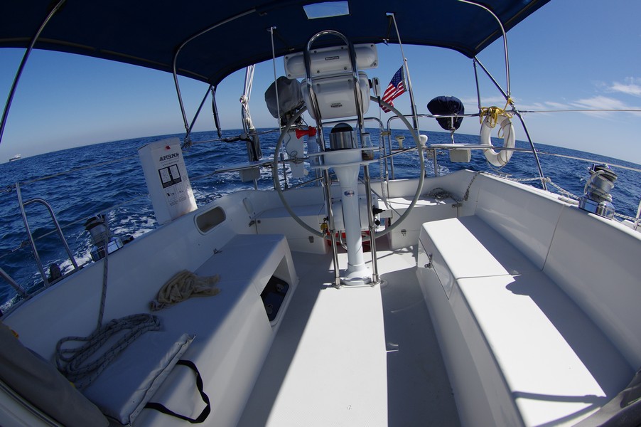
Sunday, 18 May 2014 – Arrive San Pedro – By 1:00 a.m., we had closed to about two miles offshore just south of Dana Point. The weather continued to be favorable with just a slight wind from the Southwest; barely enough to motor-sail.  We had lost the negative current and our speed over ground was at times hitting 6 knots.  When George took over at 3:00 a.m. we were three miles offshore of South Laguna. Our route continued north towards Newport Beach where we adjusted our course for a direct line to Angel’s Gate in Long Beach Harbor. By 7:00 a.m. we were within sight of Long Beach and just after 7:40 a.m., we were at the entrance of the harbor.

On the way into Long Beach, we called Customs and Border Patrol (CBP) to alert them of our arrival, providing them with our information and ETA. We pulled into our slip at Cabrillo Marina at 8:20 a.m. and the CBP arrived about 20 minutes later to perform our check-in and give us our official clearance into the US. This was done in an efficient and friendly manner by three agents. This was a much easier process than going into San Diego to perform the US entry clearance which can lose you six hours of sail time. It is a great service and enables you to go directly from Mexico to the US.

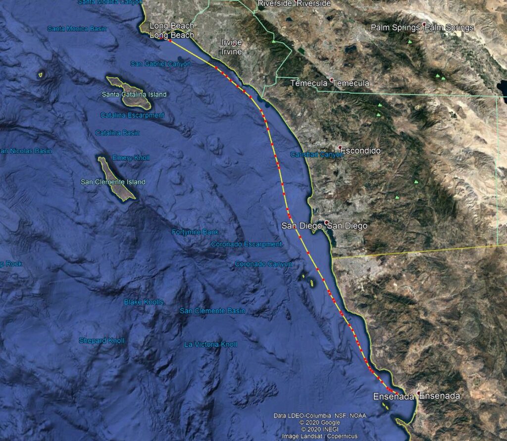
Our sail time from Ensenada to San Pedro was 28 Hours covering a distance of 156 miles using 12.5 gallons of diesel at an average speed of 5.5 knots.

The ’Bash’ is over. We have covered 1,181 Nautical miles since leaving Mazatlán which had taken a total 224 hours of travel time, net of stops in Cabo, Turtle Bay, Cedros and Ensenada. We used 132 gallons of Diesel and our average speed was 5.18 knots.

To San Pedro from Ensenada (17 May 2014)

Saturday, 17 May 2014 – We left Ensenada at 4:50 a.m. and headed out into calm conditions with a low haze. By 7:40 a.m. we had passed an inbound Carnival Cruise liner headed for Ensenada and were already well out of the Ensenada Bay. At noon we were just under two miles from Rosarito and then adjusted our course to take us inland of the Mexican Coronado Islands. These islands are just south of the US border.  At 2:45 p.m. we had done 41 Nautical Miles and crossed from Mexican to American waters. We were on a heading for a point about 5 miles off Point Loma which we passed at 4:00 p.m. At midnight when we changed watches, we were south of San Clemente.

In Ensenada (15 – 16 May 2014)

Thursday, 15 May 2014 – In Ensenada – Overall, our second leg from Turtle Bay and after Cedros the weather was generally good with warm clear days. On Saturday morning we will start the final leg to the Cabrillo Marina in San Pedro, Los Angeles so this was a day to stock up on groceries and prepare Hilbre for the final leg of the ‘Bash’.

Ensenada

The engine oil and fuel filters were changed and the stuffing for the packing gland was changed.  While the stuffing has not given us any problems, I wanted to remove the more traditional packing and replace it with Western Pacific GTU which is a far superior product. Hilbre was then washed to get rid of the salt.  

I gave the two 12.5-gallon diesel jugs to one of the workers in the Marina who was both surprised and grateful for the unexpected gift.  They had served us well and on the last leg from Cedros, as we emptied them of diesel, we tied them off at the back of the boat. We again had dinner at the marina which has a nice restaurant.

Friday, 16 May 2014 – In Ensenada – It was time to visit the Port Captain’s office both to check in and check out. This was quite efficient and afterward, we went shopping for souvenirs and a few groceries downtown before catching a bus back to the Marina. Since we were last at Marina Coral, a new store had opened across from the Marina and we took the opportunity to stock up on our booze. Dinner was once again in the Marina.

Arrive Ensenada from Cedros (14 May 2014)

Wednesday, 14 May 2014 – After midnight, the sea became glassy with just the hint of a swell and with a full Moon, we had a wonderfully quiet night.  Morning brought a setting moon in the West and a rising sun in the East. The sky was clear, and the warm sun made for a very pleasant morning.

Visit from a Finch

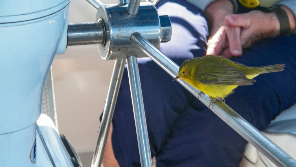
Around 10:30 a.m. about two miles off Punta Santo Thomas, we had a visit from a small yellow finch that was quite tame. It explored the cockpit, seemed unconcerned by the presence of humans, it even sat on Anita’s leg for a time. He continued to wander about the boat exploring everything before finally heading back to shore.

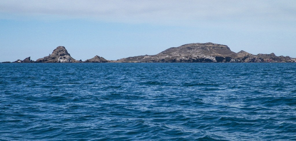
Passing Todos Santos Islands

At 11:00 a.m. we had passed north of the Rio Santo Tomas and were approaching Ensenada Bay. At 1:00 p.m. and 283 miles from Cedros, we made the final turn off Punta Banda into Ensenada Bay by the Todos Santos Islands. We are just an hour and a half from our destination, Marina Coral. There, we were given a short slip on ‘F’ dock in a narrow fairway which made for some tricky docking maneuvers, at 3:25 p.m. we were securely tied to the dock.
We had covered 292 miles since leaving Cedros or 350 miles since Turtle Bay and had been underway for 72 Hours. Our average speed had dropped to 4.9 knots, the effect of the current pushing against us which was noticeable since leaving Cedros. We had used 37 Gallons of fuel.
We had dinner at Marina Coral and watched a Carnival boat leave Ensenada.
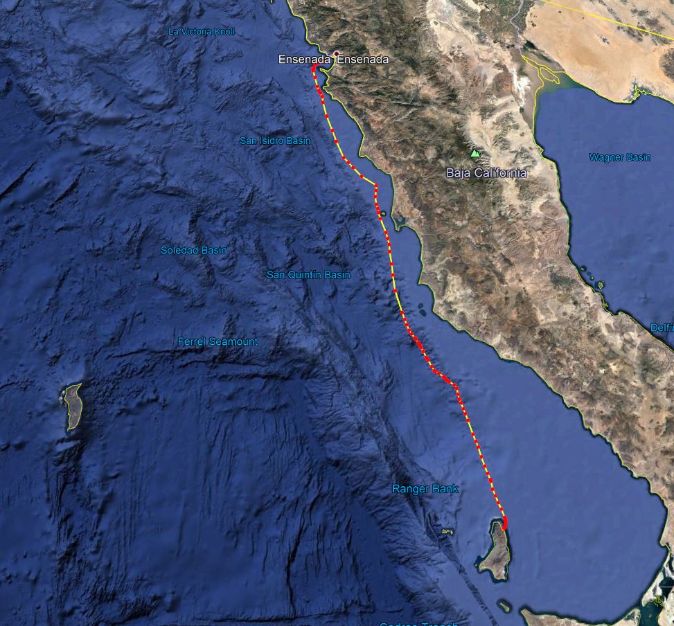
At Sea – (13 May 2014)

Tuesday, 13 May 2014 – When I took over the watch at midnight, everything was quite calm. George took over the watch at 3:00 a.m. and at 3:45 a.m. we were 16 miles Southeast of San Carlos and seven miles offshore of the Sacramento reef. At 6:00 a.m. even though the sea was calm, we ran into some strong currents and the surface was confused from upwelling’s caused by the steep undersea contours and canyons of the continental shelf. The buffeting and lateral movement of the boat was noticeable, so we changed course to move us into deeper water, off the continental shelf and out of this undersea canyon area. An hour or two later things had calmed down. We again adjusted our course north staying nine miles offshore of Punta Baja which we passed at 10:00 a.m.

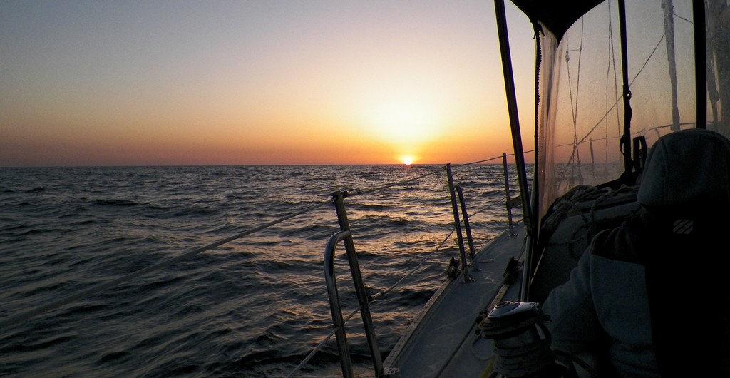
Sunset

It is easy to see why this is a notorious area for wrecks and indeed the reef is named for the famous 1872 wreck of a 270′ side wheel passenger steamer which sank here with a great loss of life.  In his book Sou’west in Wanderer lV, Eric Hiscock talks about the loss of the schooner ‘Goodwill’ and 12 hands on this same reef in 1969. Today, it is a popular fishing area and with GPS, not as notorious as it once was. As we passed almost seven miles to the West of the reef, we did see the very bright beacon marking its location.

During the day, the sea remained calm and while we still had 7-12 knots of wind on the ‘Nose’ we made slow but steady progress north against this and the current.

Non-rResponsive Sailboat

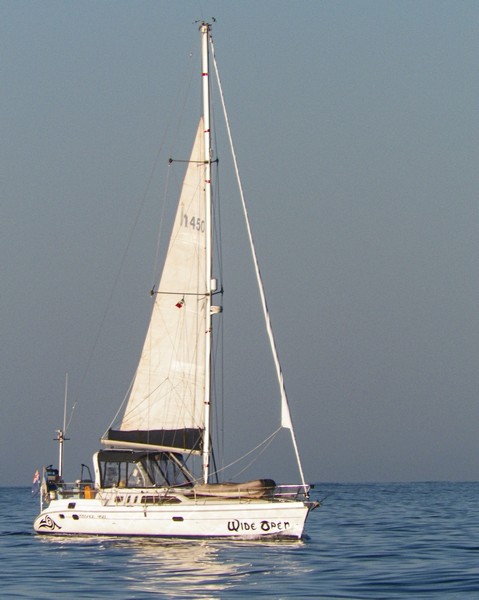
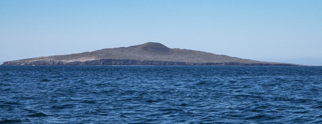
At 3:00 pm we passed Cabo San Quinten and shortly afterward, just north of San Quinten, a Hunter 45 sailboat called ‘Wide Open’ with either an Australian or New Zealand flag passed us, crossed our bow twice and then headed off to the Northwest only catch us up about an hour later. They did not respond to any of the regular VHF channels. While they were within waving distance, they never acknowledged our presence and eventually fell back. This is unusual behavior for sailboats meeting each other in a remote ocean area. By 4:00 p.m. we had covered 166 miles since leaving our anchorage off Cedros Island and by 5:00 p.m. we passed just a mile offshore of Isla San Martin, an extinct volcano.

San Martin

The evening wind north of Isla San Martin had us bouncing in a sea stirred up by 20 knot winds which were once again on our ‘nose.’ We changed direction for a while so we could sail however after three hours the wind died, we changed course and went back to motor sailing.

As Anita came on watch at midnight, we were 6 miles offshore of Punta Colnett and had covered 212 miles since leaving Cedros.

To Ensenada from Cedros (12 May 2014)

Cedros to Ensenada

Monday, 12 May 2014 – We had a warm morning wind as we took in the anchor at 5:00 a.m. and headed out to begin the 24-hour crossing of Vizcaino Bay headed for the south end of the Sacramento Reef. To our surprise, and relief, the sea had settled down and while we had 7-12 knots of wind on the nose, we encountered only long ocean swells and a current that varied between 1.5 – 2 knots. The day was sunny and warm as we plowed north across the Bay. It seemed like it took forever for Cedros to disappear behind the horizon. At night, the seas became even calmer as we closed with the coast, but it was not without its challenges. At 9:00 p.m. when Anita came on watch, we had covered 72 Nautical Miles towards the coast which lay ahead.

To Cedros Island from Turtle Bay (11 May 2014)

To Cedros from Turtle Bay

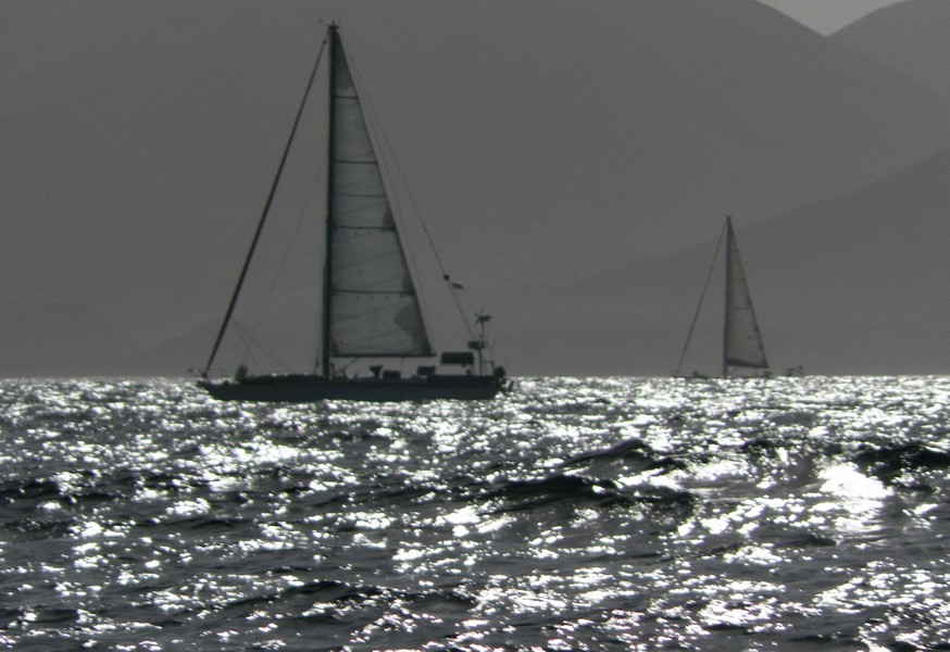
Sunday, 11 May 2015 – After checking the weather, we left Turtle bay at 5:00 a.m. and headed out of the bay in calm conditions. Once out of the shelter of the bay, we hit long ocean swells and some slight wind which steadily increased to 12-15 knots as we headed toward our first major point, Punta Eugenia.  Here, we made a turn to pass through the Dewey Channel before making another course adjustment toward Cedros Island. We were accompanied by two other sailboats who had also left Turtle Bay an hour or so after us. As they were larger and faster than Hilbre, they had overtaken us between Punta Rompiente and Punta Eugenia. Staying in VHF contact, we shared weather conditions as we all headed north.

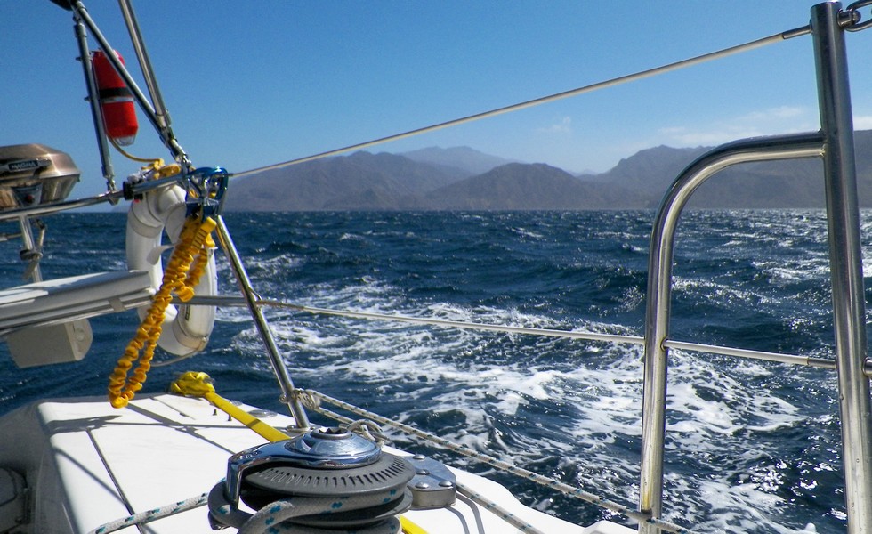
Crossing the Keller Channel proved challenging with 20+ knot winds and a strong beam sea. However, with a reefed Mainsail and Genoa we spent 3 hours sailing hard at over 7 knots taking a lot of water over the bow as we plunged into heavy seas. Because of the conditions, we expected 30+ knot winds north of Cedros so we decided to head to the north anchorage which is in the Lee of Cedros Island. Once in the Lee of the Island, we encountered flat water as we headed north about a mile offshore from the Island. We did manage to use the Banda Ancha to download the latest GRIB weather files from the Internet as we passed the village of Cedros.

Just before the north anchorage, a series of Arroyos cut across the island and we suddenly found ourselves in 20+ knots of wind which increased to gusts of almost 30 knots and for a while we had some great sailing as we plowed north toward the anchorage.  At 2:30 pm. we were in the Lee of Cedros having covered 42 miles.

One of the other sailboats already rounding the north end of Cedros had reported encountering heavy seas with 35+ knots of wind on the ‘nose’ and breaking seas so both boats ahead of us decided to retreat to the north anchorage overnight. By 6:00 p.m. we were securely anchored with the other two sailboats. We had covered 59 miles at an average speed of four and a half knots.

The north anchorage consists of a series of small beaches, a few at the head of Arroyos. We did encounter some strong wind gusts of 15-20 knots while at anchor, but these died after sunset. Each of the beaches support a colony of Sea Lions. A small ledge, just off each beach provides 25-30 feet of water for anchoring but the ledge does drop off steeply. It is easy to get blown off the ledge, so we sat anchor watch overnight to the accompaniment of the Sea Lions barking on the beach. An almost full moon provided plenty of light overnight.

In Turtle Bay (8 – 10 May 2014)

Thursday, 8 May 2014 – Two sailboats left this morning, and we made another trip into town to buy groceries. It was windy all day, blowing steadily at more than 25 knots with higher gusts. On our way back to the boat we stopped at the beach palapa to enjoy some beers followed by a quick trip out in Enrique’s water shuttle. We could see the sea condition outside of the bay from the boat with whitecaps everywhere. The weather did begin to calm down overnight.

Friday, 9 May 2014 – One of the fishing boats left as did a motor-sailor. In the morning, the local fishing fleet arrived back in port as they had been stranded by the bad weather.  The town had fresh fish once again. We just relaxed all day, sleeping and reading.

Saturday, 10 May 2014 – The weather has improved and we prepared the boat for a possible departure early Sunday. Another trip was made into town to stock up on our grocery supplies. The sea condition still looked rough outside the bay however it was calm within in the bay. We plan on making one final weather check early Sunday morning.

In Turtle Bay (5 – 7 May 2014)

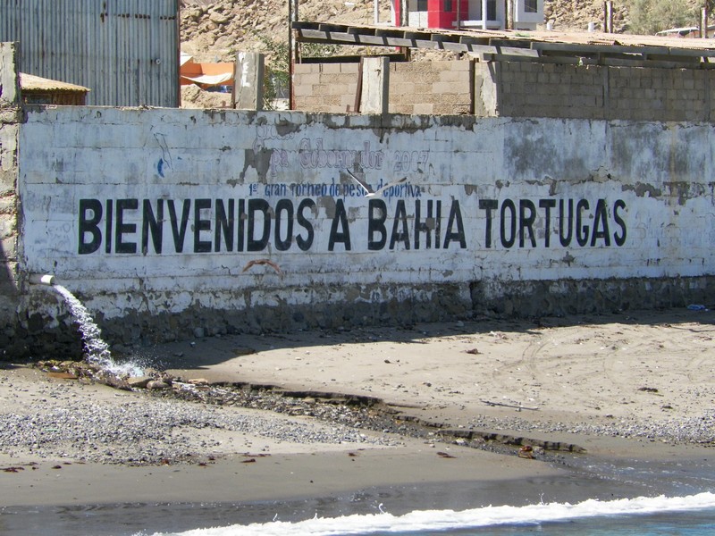
Monday, 5 May 2014 – The Bay is quite large and offers the best weather protection from all directions between Magdalena Bay and Ensenada. The anchor holding is good over sand and mud in about 25 feet of water. One lobe of the bay to the east has a fine expanse of beach with some sand dunes. The entrance to the bay is well marked with a small reef on the south side of the entrance.  There are some kelp beds and in season you must dodge lobster pots. We were here last with the Ha-Ha fleet in November 2011.

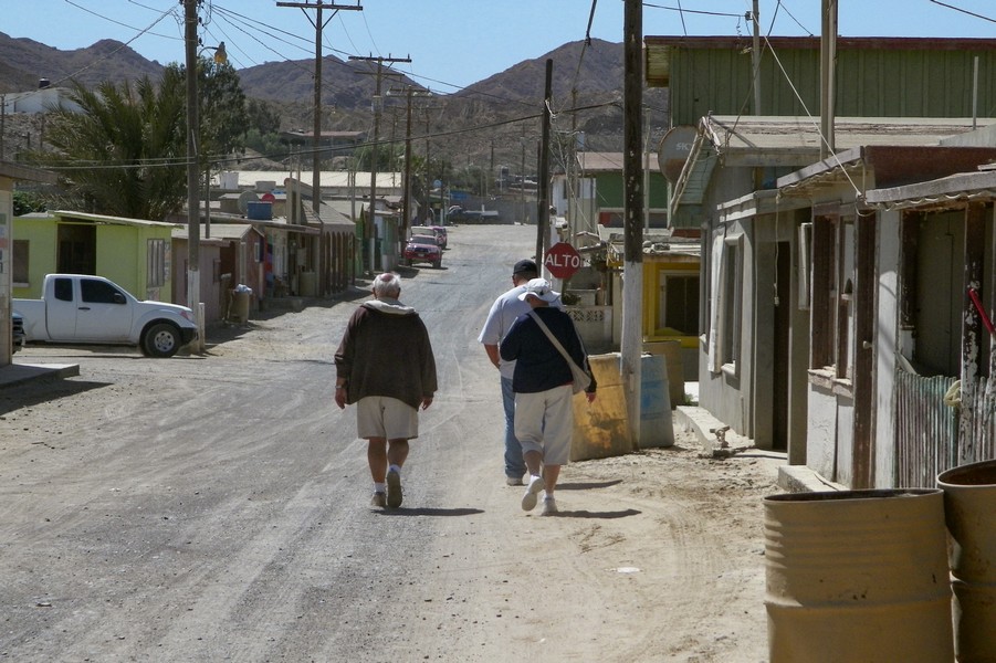
Turtle Bay once had an active Tuna Cannery however this shut down in 1998 and since then, the population has dwindled to less than 1,000 individuals due to little industry or business to support the population. Today, it is a dusty Mexican backwater with its own charm. The main north-south road is just over 100 miles distant, so the village is somewhat out of the way.  People are friendly and helpful, especially to visiting yachts as it supplements their livelihood which is still fishing. There is a good diesel service for refueling however we always filter any diesel going into our main tank.

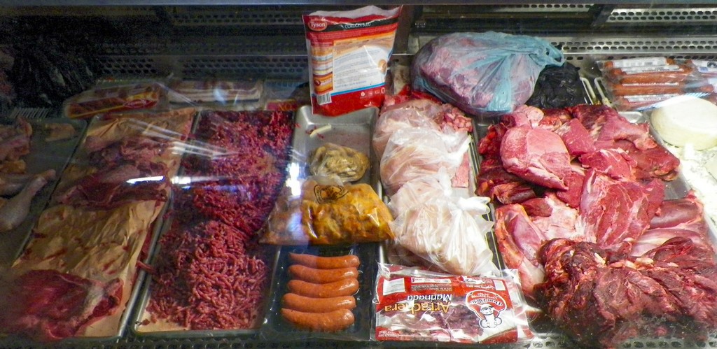
Some grocery shopping was accomplished at one of the small stores (Tiendas) for supplies. In the Baja, many supplies come from the USA, so you tend to find more American products here than on the mainland coast. The tiendas have a decent selection of products as well as fresh produce. Pedro, our guide, navigated us around the village for a small propina (tip), he was helpful and patient with us. We finished up having a few beers at a small Palapa on the beach before heading back to the boat.

Our first internet weather forecast, just after arriving, showed we had made it into Turtle Bay just before an approaching storm.  Today’s weather check indicated we will be here for at least 5 days until it blows over.

Tuesday, 6 May 2014 – While we started out being the third boat at anchor, there are now eleven boats at anchor, all sailboats. It is currently blowing at 18-20 but we expect this to increase overnight and Wednesday to more than 30 knots. It is looking like we will be in Turtle Bay until at least Sunday as the weather between Turtle Bay and Ensenada is not looking good. We stayed on the boat all day trying to keep ourselves occupied.

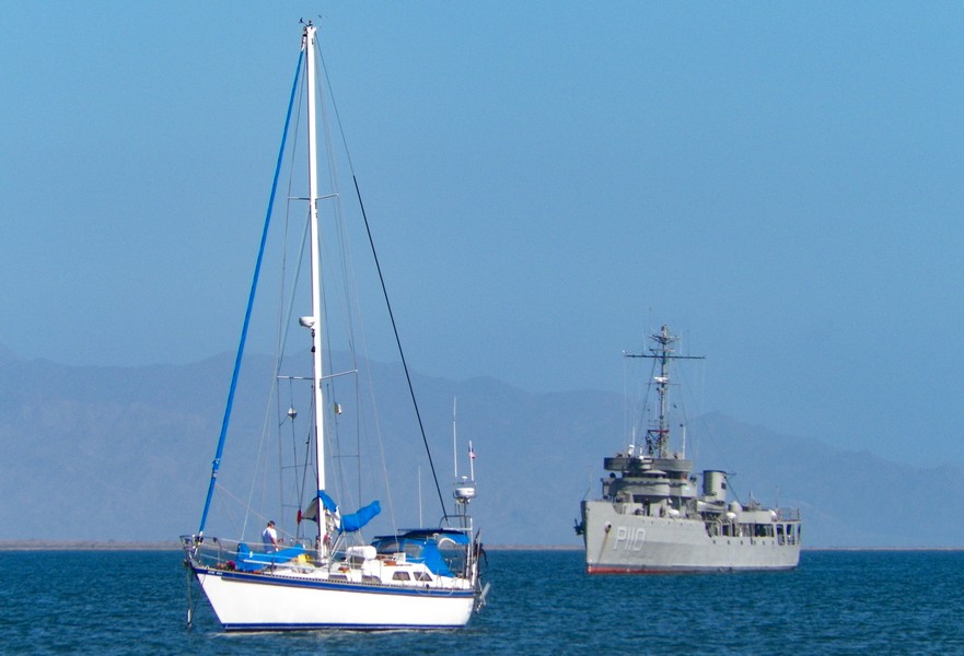
Mexican Navy taking Shelter

Wednesday, 7 May 2014 – Everyone is hunkered down, and no new boats arrived today. It was time to change the engine oil; at least it was something to do, otherwise we are doing a lot of reading, sleeping, and using the computer. We can get Internet access using our Telcel Banda Ancha Movil (USB Connection to Telcels 3G network) however it is quite slow compared to other locations in Mexico as Turtle Bay has an older style cellular connection.  At least we can get news, weather reports and email.

Arrive Turtle Bay – (4 May 2014)

Arriving Turtle Bay

Sunday, 4 May 2014 – The night continued calm, flat calm, as we navigated around Punta San Roque which was seven miles distant, our last landmark before arriving in Turtle Bay. The sea was flat with a lot of phosphorescence, while I have seen this frequently, this time it was as outstanding. As we sailed though the water, large patches of the sea lit up as if we were flying over cities in an aircraft. The patches were extensive and very bright lighting up large areas. The patches seemed to be at least 8-10 feet or more below the boat. It was quite a display and continued for hours including during Georges watch at 3:00 a.m.

At 7:30 a.m. we had covered 469 miles since leaving Cabo San Lucas and Turtle Bay was finally in sight. After rounding the point and entering the bay we dropped anchor in 24 feet of water at 8:25 a.m. having covered 474 (544 Statute Miles) miles in three days and 16 hours at an average speed of 5.38 knots.

We had used 49 Gallons of Diesel out of the 75 Gallons we had on board. The engine had used approximately a half-gallon per hour.

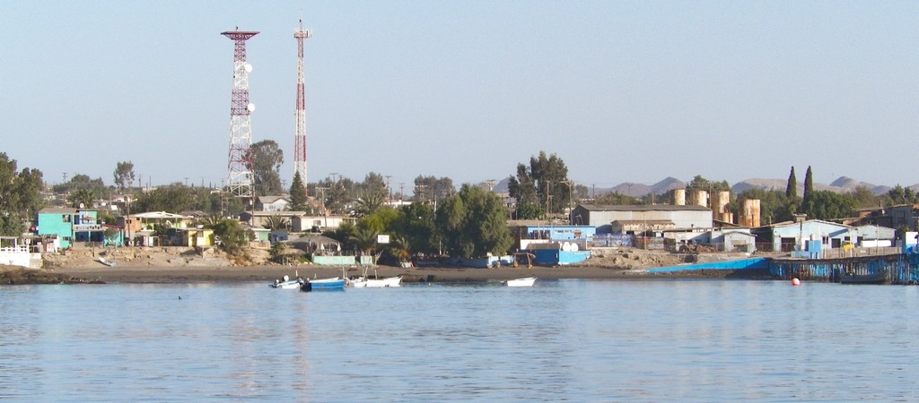
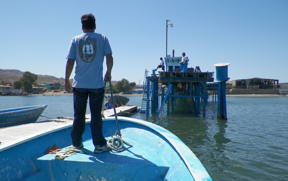
Our first task was to refuel, and this was done by Enrique’s Pangas who also provide a shore taxi service for $2.00 US round trip. He also takes away the garbage for a small fee. The village uses the old Tuna Cannery pier and its rickety floating pontoons for tying up Pangas, refueling boats and other general boating activities. The local children also use the pier for swimming by jumping off the dock into the 68-degree water. They were having a great time doing this when we were heading back along the pier to Enrique’s water taxi.

We had gone into Turtle Bay to get better internet service at one of the stores.  While there we met some of the other cruisers who were anchored in the Bay. I renewed our monthly charges for the Banda Ancha as we need it to monitor the weather forecasts which were not looking hopeful.

At Sea – (3 May 2014)

Saturday, 3 May 2014 – At 1:00 a.m. during my watch, the wind picked up for a while with a breeze of 10 knots and gusts to 16 knots however, by 3:00 am. when George came on watch it had dropped to 3 – 5 knots. The overnight was quiet with a clear sky and by morning the wind was down to 2 – 4 knots, but we had a clear sunny day and a calm sea. We passed within five miles of Punta San Lazaro and adjusted our course for San Hipolito.

Baby Shark

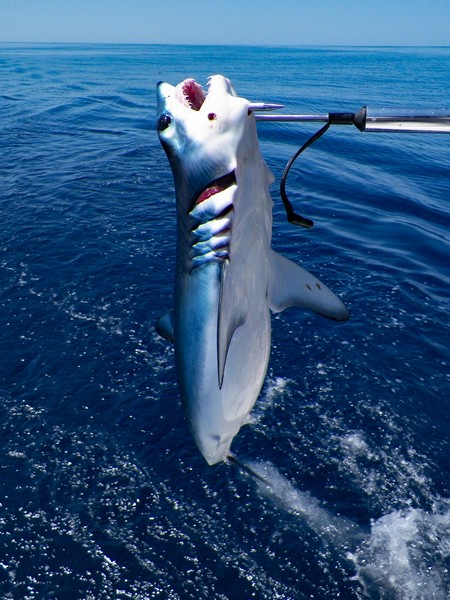
At noon, we had covered 360 miles. Our fishing has not been too good as our only catch was a baby shark which was quite upset with us. We hauled him in and managed to free the hook before letting him go. He seemed none the worse for his encounter with us but what a set of teeth they have, even when they are babies.

I had plotted our course was towards Punta San Hipolito and I had chosen this course in case of poor weather. It was somewhere we could anchor behind a headland and wait out bad weather if needed.

At 2:10 pm. we sighted land just south of San Hipolito.  As the weather still looked good at 7:20 p.m. I changed course to head directly to Turtle Bay, we had covered 403 miles. The wind increased to 14 knots, so we managed to put up all sail and give the engine a rest.

As I came on watch at midnight, we had covered 427 miles and headed directly to Turtle Bay in a light cool wind and a calm sea.

At Sea – (2 May 2014)

Friday, 2 May 2015 – By 2:00 am we were off the entrance to Magdalena Bay still in a patchy sea mist heading for Bahia Santa Maria. The night was cold and wet due to the mist. The inside of the boat and all the deck and rigging were dripping with moisture; everything was soaking wet. When George took over the watch at 3.00 a.m.  we had covered 180 miles and the mist finally began dissipating. By 8:00 a.m. we had cleared Bahia Santa Maria and were rounding Cabo San Lazaro headed north directly to Turtle Bay. We had decided not to stop in Bahia Santa Maria.

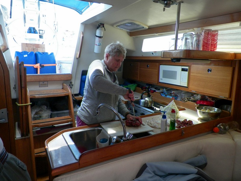
Preparing Lunch

The sky cleared, the sun came out and the humidity dropped.  By mid-morning, we had dried out and we had a fine day at sea relaxing and fishing in the warmth of the sun.  While we were mostly motoring at 5.5 Knots our speed over ground (SOG) ranged from 4 – 4.3 Knots against the southerly current. The recommended coast hugging approach we used did seem to work until leaving Cabo San Lazaro; it was here that the southerly current became obvious.

At 9:00 p.m. we had covered 244 miles all with the motor. At 9:00 p.m. when we started our watch routine, we had covered 266 Miles with the wind out of the northwest at 3 knots.

At Sea – (1 May 2014)

Thursday, 1 May 2014 – When I came on watch at Midnight, we had covered almost 41 Nautical Miles. George relived me at 3:00 a.m.  and by 7:00 a.m. we had covered 76 miles. We were still motoring as there was no wind. During the night we made our closest approach to the shore at a mere one and a half miles, navigation here has no room for error and while GPS is useful, it is dependent upon old maps and I had already found errors in these.

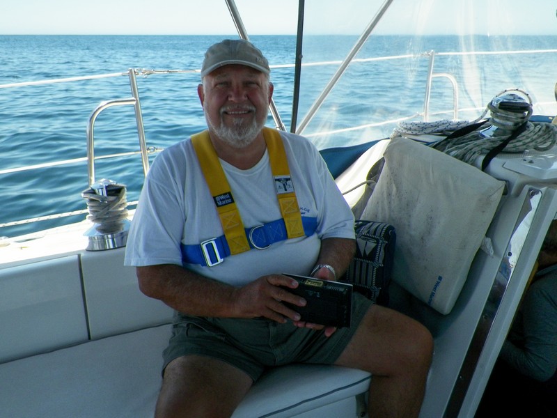
Relaxation

Sunrise brought sunshine and warmth, so we dried out and enjoyed the continuing light seas.  With continuing favorable weather, we were able to catch up on some sleep after the night watches.  At 3:24 p.m. we were about 25 miles short of Isla Santa Margarita, the outer island chain protecting Magdalena Bay and had covered 124 miles. A sea mist was settling in around us.

At this point, we had a visit from a curious whale who played around the boat for almost 40 minutes. The Whale came alongside the boat turning over on its back and showing the white of its stomach. Frequently, it dived under the boat and crossed our bow showering water on the deck from its blow hole. It would then fall back about a half mile and then come charging through the waves to parallel our course about 50 yards off the boat. Dare I say it; he was having a whale of a time with us. I was less concerned about him being close to us as he was clearly aware of us, but Anita was not too happy. We slowed down and held our course during this entounter.

Engine checkout

Shortly after the whale visit the wind swung around to our nose and the seas increased. Within a short time, we were enveloped by a heavy sea mist and were bashing into large waves and 20 knot winds.  With our speed slowed to under 4 knots by the wind and waves, it seemed to take forever to reach the end of Santa Margarita which we finally did about 8:00 pm. Fortunately, the wind and waves had begun to subside by then, so we again made progress north at over five knots close to the shore, but still in a heavy sea mist.

By midnight we had covered 162 Nautical Miles and were approaching the entrance to Magdalena Bay. At that time, we were just 1.7 miles from the shore. The fog was so intense, everything was dripping inside and outside the boat as was the rigging. Everything had become very damp and due to the fog, we were running with the RADAR regularly checking our position using the GPS and RADAR.

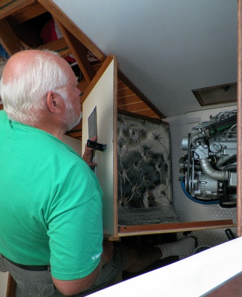
Once or twice a day I perform an engine checkout. This consists of removing the engine cover and looking at the drive belt, the raw water impeller, checking all cables and looking for any leaks or belt dust. It takes only a couple of minutes but it is important to catch any minor issues before they become a major problem.